


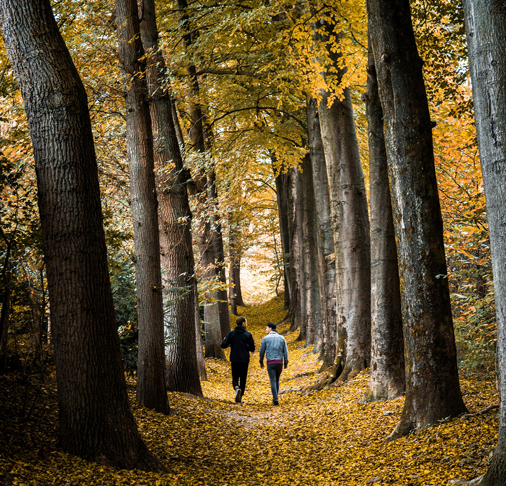
Route 51 Greenway of the Plazaola
- Departure: Lekunberri
- Distance: 4,5 km
- Unevenness: 7 m
VERY ACCESSIBLE TRAFFIC PATH, BUILT FROM THE OLD STRUCTURE OF THE PLAZAOLA NARROW-GAUGE TRAIN THAT JOINED MUGIRO AND ANDOAIN. IT IS SPLIT WITH BEAUTIFUL LANDSCAPES THAT MAKE THE ROUTE EVEN MORE PLEASANT, ALSO IDEAL FOR BIKE.
The route begins at the Plazaola station, which currently houses the information office on the greenway. We continue along the road, and to the left we take the detour where the path begins. To the right we climb a staircase that leads us to a viewpoint with wonderful views of Lekunberri and the Malloas. We continue and cross the first tunnel on the road; the road goes down to the left, and we now travel along a cement track, until we cross the highway through a passageway. On leaving we continue to the left and walk through a gorge between vertical slopes. There is access to some meadows on the right, separated by a wire fence, which end in a rest area. You travel briefly along the highway, with the silhouetted Malloas in the background. We pass through an oak grove, we take a path to the right that leads us to a coal mine. We enter two tunnels and salute the road that goes up to Uitzi. We follow the path with an iron railing that separates us from the hillside, until we reach a sign that deviates to Gorriti. We continue along the road, which after 5 min ends at the road. We continue along the hard shoulder, before returning to the path that leads us to the Uitzi station, which is very well preserved. A beacon indicates the path: after turning left, we arrive at the tunnel mouth (almost 3 km of tunnel in darkness). The path can be followed by the road to Uitzi or by a path that goes up to the right.
Of interest
Las Malloas
This mountain range, located in the Sierra de Aralar, offers an imposing crescent-shaped figure from which the Araitz valley can be perfectly seen. Flanked by the Balerdi and Tutturre peaks, the Malloas have always been the object of desire for mountaineering; In the past they were crisscrossed by ports, paths well traced by livestock that went up to graze on the peaks (now in disuse).
How to get
Head along the A-15 towards Donostia-San Sebastián until the Lekunberri exit
Route 52 Greenway of Tarazonica
- Departure: Tudela
- Distance: 13,02 km
- Unevenness: 110 m
CONDITIONED PATH ON THE OLD RAILWAY LINE THAT JOINED TUDELA WITH TARAZONA, AND THAT IS AN EXCELLENT OPPORTUNITY TO KNOW THE SOUTH OF NAVARRO WITH THE IMPOSING SILHOUETTE OF THE MONCAYO CUT IN THE HORIZON.
The tour begins at the RENFE station in Tudela. When you reach a roundabout you will find the crossroads with the Camino de Santiago del Ebro, marked with arrows in the opposite direction to our march. After spotting an old locomotive, follow the green lines on the ground until you leave Tudela. After crossing a small bridge with a handrail, we turn left and the long road that we will circulate begins. The Moncayo begins to be seen to the right, while on the side of the road, orchards, fruit trees, cultivated fields are left behind… After 4 km, you reach a rest area equipped with railway materials; Later, the NA-3010 Tudela-Ablitas road is crossed by an elevated walkway, from which you can see the olive groves in the Queiles Valley, you cross the Lodosa Channel and continue along the road. You go through a tunnel under the highway, and on the way we pass the old Murchante station on the right, with a rest area. After a gentle descent, you turn slightly to the left, and you can see the remains of the depopulated area of Urzante. We passed Cascante and its abandoned station. The route becomes more sinuous and crosses several fields of fruit trees. A track crosses to the entrance of Tulebras, the town where the tour ends, with the almost obligatory visit to the beautiful Cistercian monastery of Tulebras.
Of interest
The twilight of a line
The route of the Tarazónica route, which came into force in 1885, crossed 12 km from Navarra and 11 km from Aragon. It had six stations (Tudela, Murchante, Cascante, Tulebras, Malón and Tarazona), and the slowness of the railroad earned it the nickname ‘Escachamatas’. In 1953 the track’s rails were widened, but it fell into decline and the line was closed in 1972.
How to get
AP-15 towards Zaragoza, exit Tudela Centro. Continue to the station on the N-232